
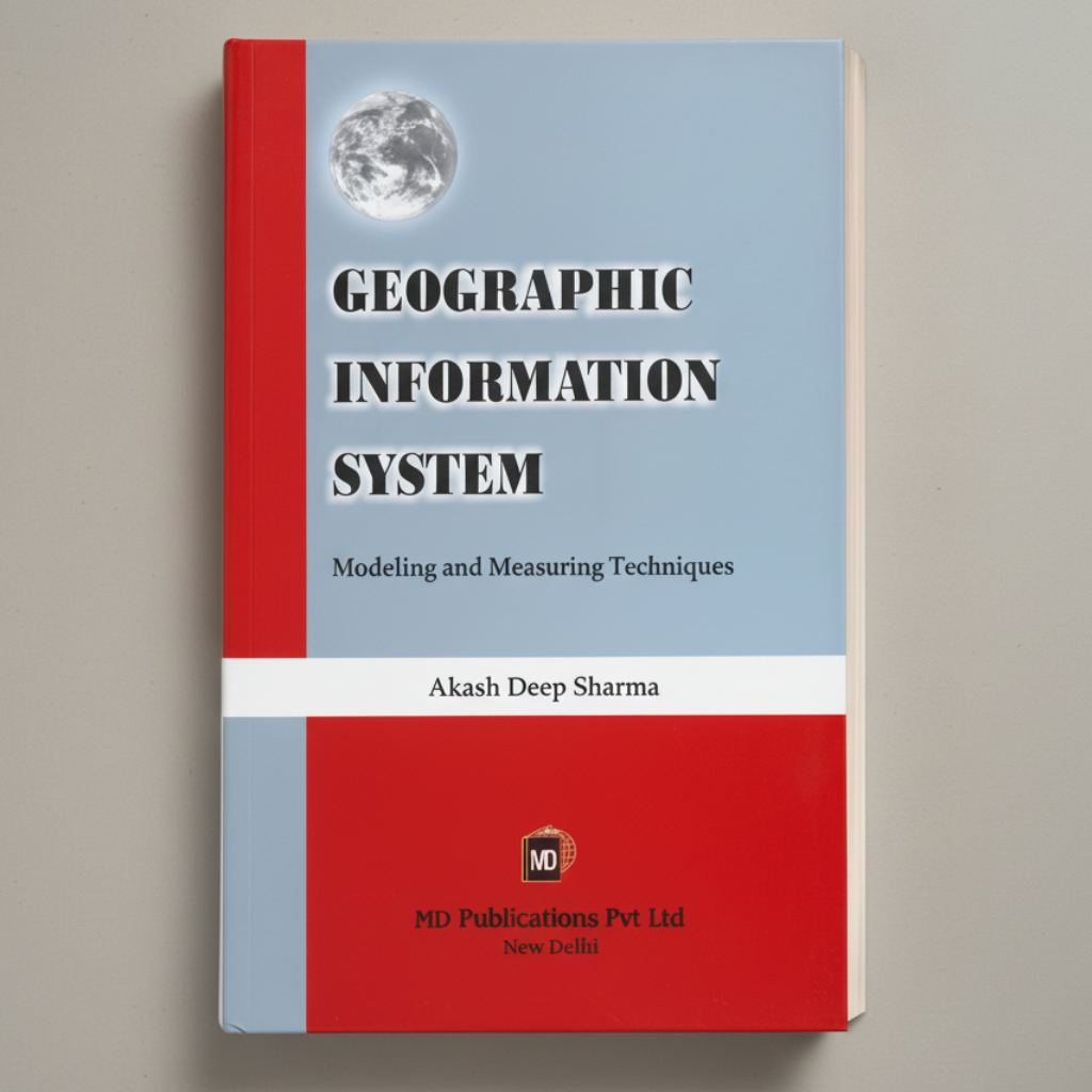
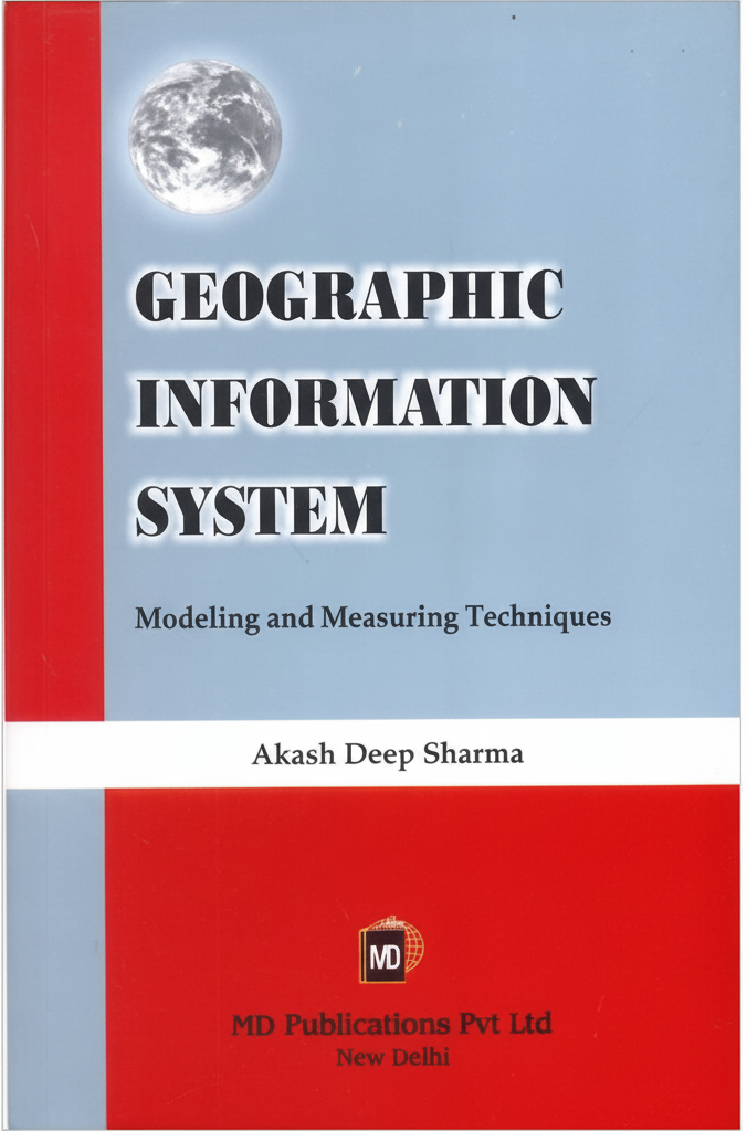
GEOGRAPHIC INFORMATION SYSTEM: MODELING AND MEASURING TECHNIQUES
Tax included. Shipping calculated at checkout
A GIS is most often associated with maps. A map, however, is only one way you can work with geographic data in a GIS, and only one type of product generated by a GIS. This is important, because it means that a GIS can provide a great deal more problem-solving capabilities than using a simple mapping program or adding data to an online mapping tool. A GIS is a set of intelligent maps and other views that show features and feature relationship on the earth's surface. Maps of the underlying geographic information can be constructed and used as windows into the database" to support queries, analysis and editing of the information."
Country Of Origin: India
GEOGRAPHIC INFORMATION SYSTEM: MODELING AND MEASURING TECHNIQUES
Sale price₹347
Regular price₹695 50% Off
Choose options
GEOGRAPHIC INFORMATION SYSTEM: MODELING AND MEASURING TECHNIQUES
Sale price₹347
Regular price₹695 50% Off

